Routes for Climbing Yr Wyddfa (Snowdon)
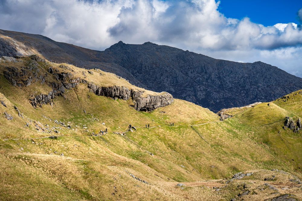
Snowdon, or Yr Wyddfa in Welsh, is the highest mountain in Wales, standing at 1,085 metres (3,560 feet). It is one of the most iconic peaks in the UK, offering stunning panoramic views, challenging terrain, and a sense of achievement for hikers who wish to tackle the memorable challenge of ascending to its summit.
But, before you begin training for your adventure, you need to decide which of the 6 routes you’ll be taking on your way up. From popular paths to quieter, more challenging tracks,
Rhyd Y Galen has created your guide on the best ways to reach the summit and best enjoy the beauty of this majestic mountain.
Tips for finding your Yr Wyddfa Walking Route
Check availability
Yr Wyddfa is a very popular hiking spot, and many people climb it daily. This means that it will be busy, and excess parking can be disruptive to local businesses.
You may also struggle to find parking if you’re driving in, and you’ll want the day to go as smoothly as possible so you can really make the most of the experience.
Check the transport links
The
Sherpa’r Wyddfa bus route stops at the start of all six walking routes up Yr Wyddfa. You can catch the bus from Llanberis, so make sure to check the timetables, and the most convenient stop for you before you start your journey.
Accept that every route is challenging
It is important to stress before delving into the routes that all of the routes up Yr Wyddfa (Snowdon) are challenging, and shouldn’t be attempted without a good level of fitness, strong navigational skills, and an emergency pack containing food, water, a first aid kit, and a way to communicate that you need help.
Decide whether you want a guide
If you wish to climb Yr Wyddfa but your orienteering skills aren’t up to scratch, then you might consider booking a guided tour like
RAW Adventures Climb Snowdon.
Guided tours will cost more than a solo journey, but you will gain assistance from experienced hikers, as well as knowledge of the routes that can save you time in your preparations. You will be in safe hands.
However, if you’d prefer to guide yourself, then you’ll need to familiarise yourself with your chosen route prior to your ascent.
The Routes
The Llanberis Path
The Llanberis Path is the most popular route for those aiming to reach Snowdon’s summit. It’s the longest of the routes, but it’s also one of the gentlest with a more gradual ascent, making it ideal for charity hikes, and those who are challenging themselves to their first Yr Wyddfa climb.
The Llanberis Path starts in the village of Llanberis and follows an old miners’ track, winding up the mountain gradually. It’s well marked, and while it’s long, the gentle incline makes it a manageable route for those with a moderate level of fitness. The path also offers a great opportunity to learn about the mining history of the area, as it was once used to transport materials from the nearby quarries.
The Llanberis Path is a great option for those who want to experience the beauty of Snowdon without tackling the more challenging scrambles. Plus, it’s the only route that can be accessed from the main town, Llanberis, which makes it a popular starting point.
Distance: 9 miles (14.5 km) Round trip Time: 5-7 hours Difficulty: Moderate Starting Point: Llanberis.
Top Tip: If you're not up for the entire round trip hike, you can take the Snowdon Mountain Railway back down. The train travels from the summit to Llanberis, offering a comfortable way to descend after a long day of hiking.
The PYG Track
The Pyg Track is one of the most scenic routes for climbing Snowdon, offering dramatic views and a more challenging ascent. It’s a great option for those looking for a moderate to hard climb with a bit of a scramble.
Starting from Pen y Pass, one of the highest car parks in Snowdonia, the Pyg Track provides some of the most stunning views as you ascend. The path is relatively steep in places, and there’s a section of scrambling near the summit, making it a more physically demanding route. However, the panoramic views of the surrounding mountains and valleys are well worth the effort.
This route is a popular choice for those looking for a more active and scenic ascent without venturing into mountaineering territory.
Distance: 7.5 miles (12 km)
Round trip Time: 5-6 hours
Difficulty: Moderate to hard
Starting Point: Pen y Pass
The Miner’s Track
The Miners’ Track runs parallel to the Pyg Track, but it’s generally gentler and shorter, making it a good option for those who want a less challenging ascent. The route shares some of the Pyg Track’s scenic beauty, but it’s a bit more gradual, particularly on the lower section.
It starts at Pen y Pass like the Pyg Track, but it diverges after a while to offer a gentler ascent. The Miners' Track passes by Llyn Teyrn and Llyn Llydaw, two stunning mountain lakes, making it an incredibly picturesque option.
While it’s less steep than the Pyg Track, it still offers a decent challenge, especially on the last push to the summit. The Miners' Track can be completed as a loop with the Pyg Track, creating a rewarding circular route.
Distance: 8 miles (12.9 km)
Round trip time: 5-6 hours
Difficulty: Moderate
Starting Point: Pen y Pass
The Rhyd Ddu Path
The Rhyd Ddu Path is one of the quieter routes up Snowdon, making it ideal for those seeking a more peaceful experience without the crowds.
It provides great views over the surrounding valleys and a different perspective of Snowdon’s summit, but is one of the more challenging routes so should only be attempted by those with a good level of fitness.
Distance: 8 miles (12.9 km)
Round trip time : 5-6 hours
Difficulty: Moderate to hard
Starting Point: Rhyd Ddu
The Watkin Path
The Watkin Path is one of the steepest routes up Snowdon, and it’s often considered the most challenging. The route begins at Nant Gwynant and takes hikers through dramatic mountain landscapes, past cascading waterfalls and craggy cliffs. The final push to the summit is steep and rocky, but the sense of achievement upon reaching the top is immense.
Due to the challenging nature of the Watkin Path, it’s best suited for experienced hikers who are comfortable with steep climbs and rocky, rugged terrain.
Distance: 8.5 miles (13.7 km)
Round trip time: 6-7 hours
Difficulty: Hard
Starting Point: Nant Gwynant
The Snowdon Ranger Path
The Snowdon Ranger path is thought to be the earliest of the paths up Snowdon and is revered for this reason. It ascends the Western slope of the Yr Wyddfa massif, with a gradual climb that allows you to take in the views of Eryri.
Distance: 13 km
Round trip time: 6-7 hours
Difficulty: Hard/Strenuous
Starting Point: Llyn Cwellyn
When you have finished conquering the highest peak in Wales,
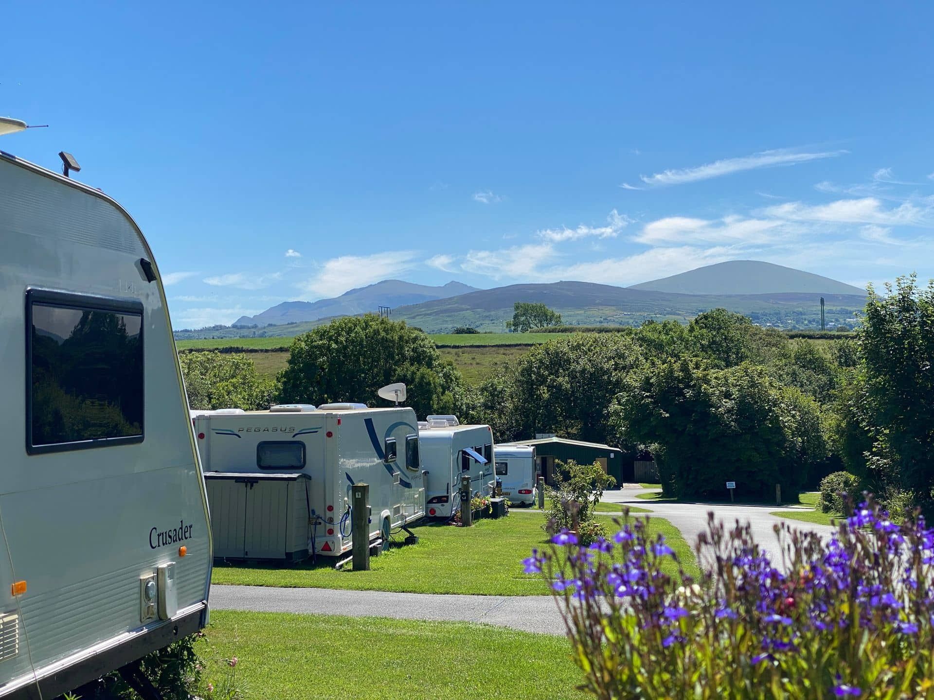
Rhyd Y Galen Caravan Park provides the perfect spot to slip off your walking boots, warm your toes up, and reminisce over your achievement with the group you shared this inspiring experience with. Our
caravan park,
campsite,
glamping accommodation is a great base for exploring everything Eyri and Yr Wyddfa has to offer without removing yourself completely from the experience.
For more advice and guidance, take a look at our guide on
Climbing Snowdon: Tips and Advice.